Charlotte Neighborhoods Where Drone Media Does the Most Work
Myers Park oaks. Lake Norman waterfront. NoDa's skyline. South Charlotte master plans. A neighborhood-by-neighborhood breakdown of where FPV and aerial media moves Charlotte listings.
Charlotte is adding roughly 157 people a day. That rate, fifth nationally for numeric growth in 2024, means listings compete for attention from buyers who are evaluating ten properties before they tour one. Most of those buyers are making their short list based on digital media. Drone and FPV media doesn’t work the same way in every neighborhood, and not every listing needs it equally. Some properties, and some locations, get dramatically more from aerial and FPV coverage than a standard photo set can provide.
Here’s the breakdown by neighborhood: what makes each one distinctive on camera, and where the format specifically earns its cost.
Myers Park, estate scale, oak canopy, the skyline of the listing
Median: ~$1.4M | Range: up to $5M+
Myers Park was designed in the early 1900s by landscape architect John Nolen as a master-planned streetcar suburb. The curved boulevard streets, the oversized lots, and the cathedral-like canopy of 100-year-old oaks lining Queens Road are deliberate. It’s a National Historic District, and the tree canopy is its defining visual feature.
The problem for ground-level photography is that the canopy also obscures the houses. Exterior stills from the street show the front door and a wall of green. Aerial from 200 feet shows the estate scale, the lot depth, the garden layout, and the relationship of the home to its neighbors, the information a buyer at this price point actually needs to evaluate before showing up.
FPV adds the approach: flying through the canopy toward the front entry, or connecting the gated entry to the back garden in a single shot. For a $1.5M home where the lot and the neighborhood context are half the value, aerial and FPV are the only formats that communicate that value accurately.
Dilworth and Plaza Midwood, the skyline as backdrop
Dilworth median: ~$600K | Plaza Midwood median: ~$900K
Both neighborhoods are inner-ring, walkable, and close enough to Uptown that the Charlotte skyline is visible from altitude. That’s the media asset most agents underuse.
A drone shot that frames a Dilworth bungalow with the Uptown towers in the background converts a home into a location. It answers the buyer’s implicit question, what am I buying access to?, without a single line of copy. Freedom Park’s green space and lake are visible from above and sit within Dilworth proper. Plaza Midwood has mural art throughout the neighborhood that reads as visual content from altitude, and the Central Avenue and The Plaza boulevards photograph well from a high orbit.
For listings near Uptown, we often end the FPV tour by flying out a second-floor window and ascending toward the skyline, a shot that’s only possible with FPV and only relevant in neighborhoods close enough to the city center that the skyline is part of the value.
NoDa, the contrast between old and new
Median: ~$530K
NoDa built its identity on a tension: 1903 textile mill bungalows and Victorian cottages alongside modern mixed-use towers, rooftop terraces, and gallery walls covered in murals. The Blue Line light rail extension brought a wave of development after 2018 that’s still active.
The mural art is the hidden aerial asset. Much of it covers building exteriors and rooftops at scales that read best from above, a Reels cut from altitude shows the neighborhood’s character in ten seconds better than any ground-level walkthrough. Aerial also contextualizes new construction: buyers evaluating a $530K NoDa townhome want to see the Blue Line station proximity and the density of the surrounding streetscape, information that confirms the urban lifestyle value and justifies the price against comparable suburban builds.
SouthPark, wooded lots, golf course adjacency, the teardown market
Median: ~$670K | Foxcroft luxury range: up to $5M+
SouthPark is several different markets stacked on top of each other. There are 1950s ranches on tight lots, mid-century colonials, and Foxcroft-area estates on half-acre-plus parcels being torn down and replaced with 4,000+ square foot French Provincials and Tudors. The common thread is mature tree coverage comparable to Myers Park.
The teardown and new-build market specifically benefits from drone. Aerial shows the lot, its size, its orientation, its position relative to Quail Hollow Golf Club or the wooded SouthPark corridors, before the structure goes up, and it shows the finished build’s footprint and landscape after completion in a way no walk-around can match. Buyers evaluating a $2M new construction in Foxcroft are buying the lot context as much as the house. Aerial gives them that.
South Charlotte: Ballantyne, Waxhaw, Marvin, Matthews
Ballantyne median: ~$625K | Waxhaw median: ~$700K | Marvin: $1M+
South Charlotte is one of the most active real estate corridors in the Carolinas, a broad band from Ballantyne to the Union County line where master-planned communities, corporate relocatees, and top-ranked schools drive consistent demand. The farther south you go from Uptown, the larger the lots tend to get. Waxhaw and Marvin have estate-scale properties on half-acre to two-plus-acre lots that simply cannot be communicated by interior photos alone.
For master-planned communities like Ballantyne Country Club or the planned communities throughout Waxhaw, aerial is the format that sells the neighborhood context: the amenity center, the greenway connections, the pool complex, the golf course footage visible from above. Buyers relocating from Atlanta, New York, or Chicago to Ballantyne Corporate Park are evaluating communities from 1,000 miles away on digital media before they fly in. The listing that has a 90-second aerial reel showing the community, the home, and the commute context does more pre-qualification work than any photo gallery.
The rolling piedmont terrain in Waxhaw and Marvin gives aerial footage more dimension than the flat grid closer to Uptown. It’s some of the more visually dynamic exterior work we shoot in the market.
Lake Norman, the highest-stakes drone market in the region
Waterfront median: ~$1.1M–$20.5M | Mooresville/Cornelius median: $425–$765K
Lake Norman is 520 miles of shoreline and 50 square miles of water, the largest man-made freshwater lake in North Carolina and the largest lakefront housing market in the Southeast by total value. For any waterfront listing, drone isn’t optional; it’s the primary media format.
The variables that determine waterfront value, shoreline footage, dock configuration, water depth at the slip, lot-to-water relationship, the specific view across the lake, are invisible from inside the house and largely invisible from the ground. An aerial at 200 feet shows all of it in one frame. An FPV approach over the water toward the dock and up to the house connects the lake lifestyle to the listing in a single unbroken shot that no amount of interior photography can replicate.
Cornelius, Mooresville, and Davidson sit in standard controlled airspace that LAANC handles efficiently. The drive from Uptown is 25–35 minutes, and the waterfront properties in this corridor are among the highest-value residential shoots we do.
Steele Creek, Berewick, and The Palisades, new construction and rolling terrain
Berewick average: ~$450K | Palisades range: $450K–$700K+
The southwest Charlotte corridor has been one of the most active new construction zones in the metro. The Palisades is a 1,600-acre master-planned community built around a Jack Nicklaus signature golf course, with 14 distinct neighborhoods and ongoing development completing through 2026. Lake Wylie sits on the South Carolina border just south of the community.
The terrain here has more topographic relief than most of Charlotte, rolling hills and wooded ridgelines that create dynamic aerial footage. For new construction listings where the model home and the lot are both part of the pitch, aerial shows the course frontage or the wooded backdrop that distinguishes one lot from another in a community where the floor plans are nearly identical. National builder listings in Berewick specifically benefit from aerial differentiation; at similar price points with similar square footage, the listing with a drone reel gets the showing.
Note on CLT airspace: Steele Creek and Berewick sit close to Charlotte Douglas International’s Class B footprint. We check airspace boundaries on every job in this corridor and file LAANC as needed.
Huntersville and Birkdale, golf lots and lake access
Birkdale median: ~$690K | Huntersville median: ~$580K
Birkdale Golf Club runs through the eastern section of the neighborhood, and the course-facing lots carry a meaningful price premium. That premium is nearly impossible to convey from inside the house, it’s a green open space that buyers need to see from above before they understand what they’re paying for. An aerial shot of a course-facing backyard shows the view, the openness, and the scale in a way no ground-level photo can.
Birkdale Village’s walkable commercial center is visible from altitude, and Lake Norman access via Blythe Landing is a few minutes north, both lifestyle context points that aerial contextualizes in a way interior stills don’t touch.
Concord and Cabarrus County, authorized operations only
Concord median: ~$380K
Concord sits in Cabarrus County on Charlotte’s northeast edge, and Concord Regional Airport (JQF) creates Class D controlled airspace that covers most of the city. Commercial drone operations here require LAANC authorization through JQF, something we file as part of standard pre-shoot planning, but something an unlicensed operator cannot legally do at all.
Charlotte Motor Speedway is visible from altitude in this market, which makes for some of the more distinctive aerial context shots in the Charlotte metro, a buyer evaluating a Concord listing can see the speedway, the I-85 corridor, and Charlotte’s skyline on the horizon in a single aerial pass. For the price point and buyer profile here, value-segment buyers priced out of Mecklenburg County, that location context is often the primary selling argument.
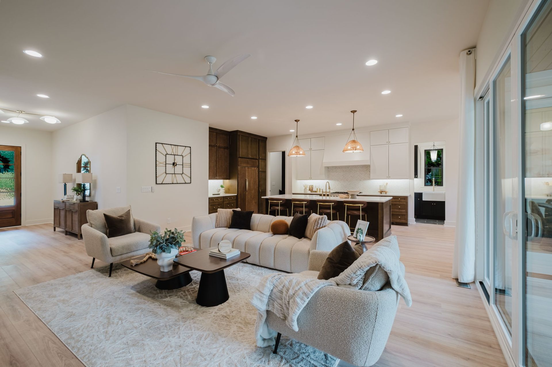
The neighborhoods that benefit most from drone and FPV media share a few characteristics: strong exterior or context assets (water, skyline, golf, canopy, acreage), price points where the cost of media is a small fraction of the listing value, and buyers who are making decisions remotely before visiting in person. For listings where all three of those are true, the question isn’t whether to book drone media, it’s which format to use and what the shot list should prioritize.
The FPV tour playbook covers the residential shoot process end to end. The FPV vs. traditional comparison breaks down when each format wins. If you’re booking a shoot, the residential page has packages, pricing, and the booking portal.
Neighborhood-specific landing pages
Every neighborhood listed above has its own dedicated coverage page with local shoot considerations, the brokerages active in the area, recent listings we’ve shot, and the package recommendation specific to that ZIP:
- Plaza Midwood, NoDa & Elizabeth covers 28204 / 28205 / 28206. Bungalows, mid-century, new-build infill.
- Myers Park & Eastover covers 28207. Charlotte’s flagship luxury ZIP.
- Dilworth, South End & Uptown covers 28202 / 28203. Center-city condos, townhomes, historic single-family.
- Madison Park, Montford & Park Crossing covers 28209 / 28210. Brick ranches, teardown rebuilds, the Selwyn corridor.
- SouthPark, Quail Hollow & Cotswold covers 28211 / 28226 / 28270. Country-club homes and the Charlotte luxury middle market.
- Ballantyne & Providence covers 28277. Master-planned south Charlotte.
- Steele Creek & Lake Wylie covers 28278. Waterfront and southwest growth corridor.
- Lake Norman corridor covers Cornelius, Davidson, Huntersville, Mooresville, and Denver.
- Waxhaw, Weddington & Marvin covers 28173 Union County. Estates, equestrian, and 2-5 acre custom builds.
Or browse the full Charlotte coverage hub for the index view.
Related journal posts
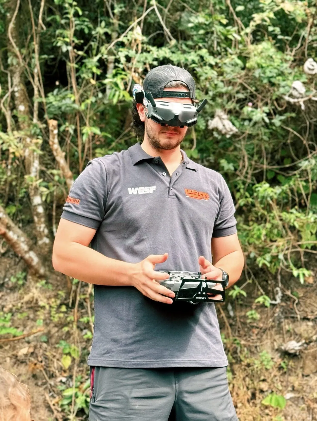
FPV Drone Tours for Charlotte Real Estate: The Full Playbook
A field guide to FPV drone tours for Charlotte listings: how we plan the route, direct the agent, pick the gear, and deliver the MLS and social cuts. Specifics, not sales copy.
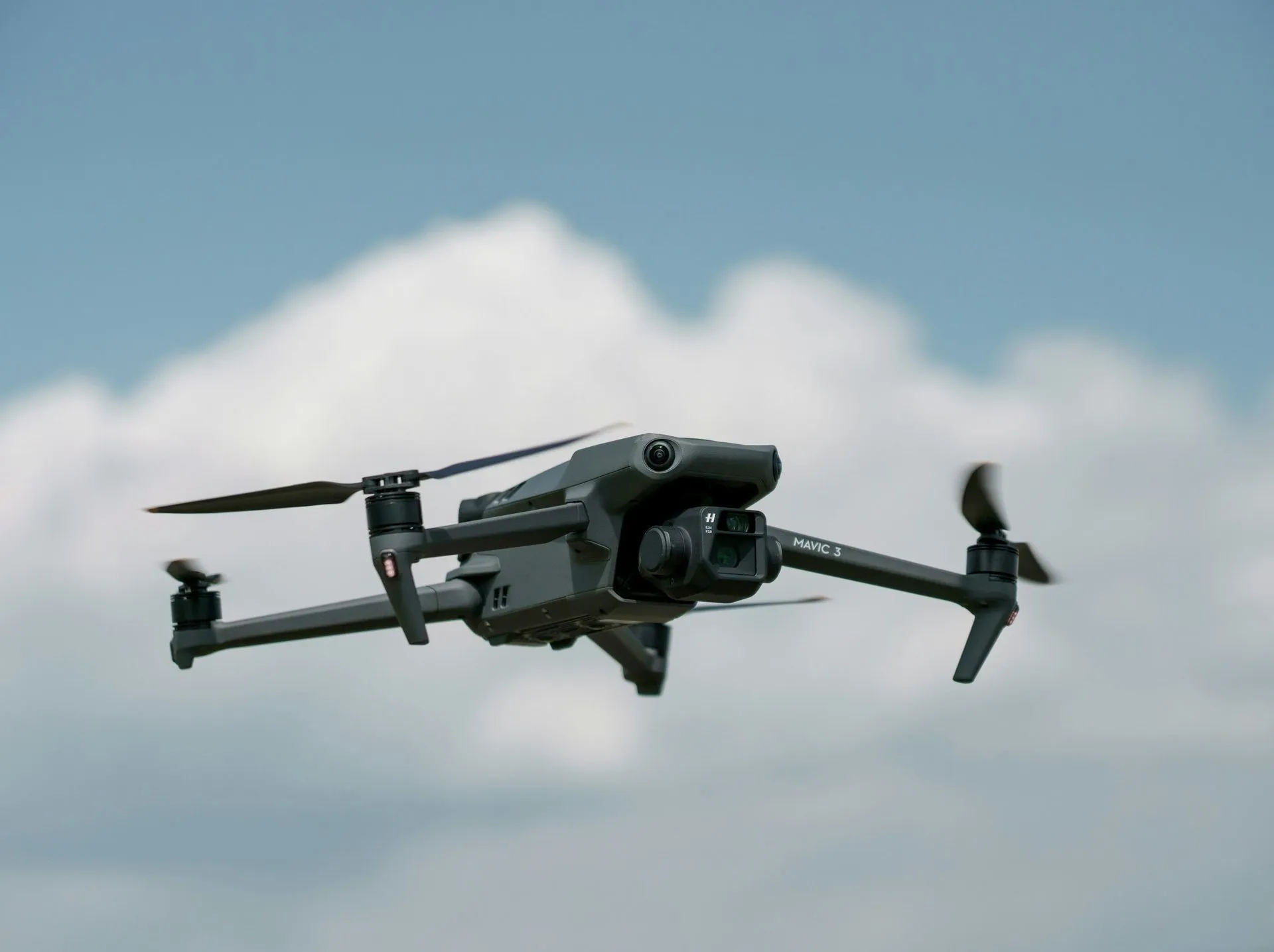
FPV vs. Traditional Drone Footage: What Changes in a Listing Video
Why FPV reads differently than gimbal drone footage, what scenarios each tool wins in, and how to think about which one belongs in your listing package.
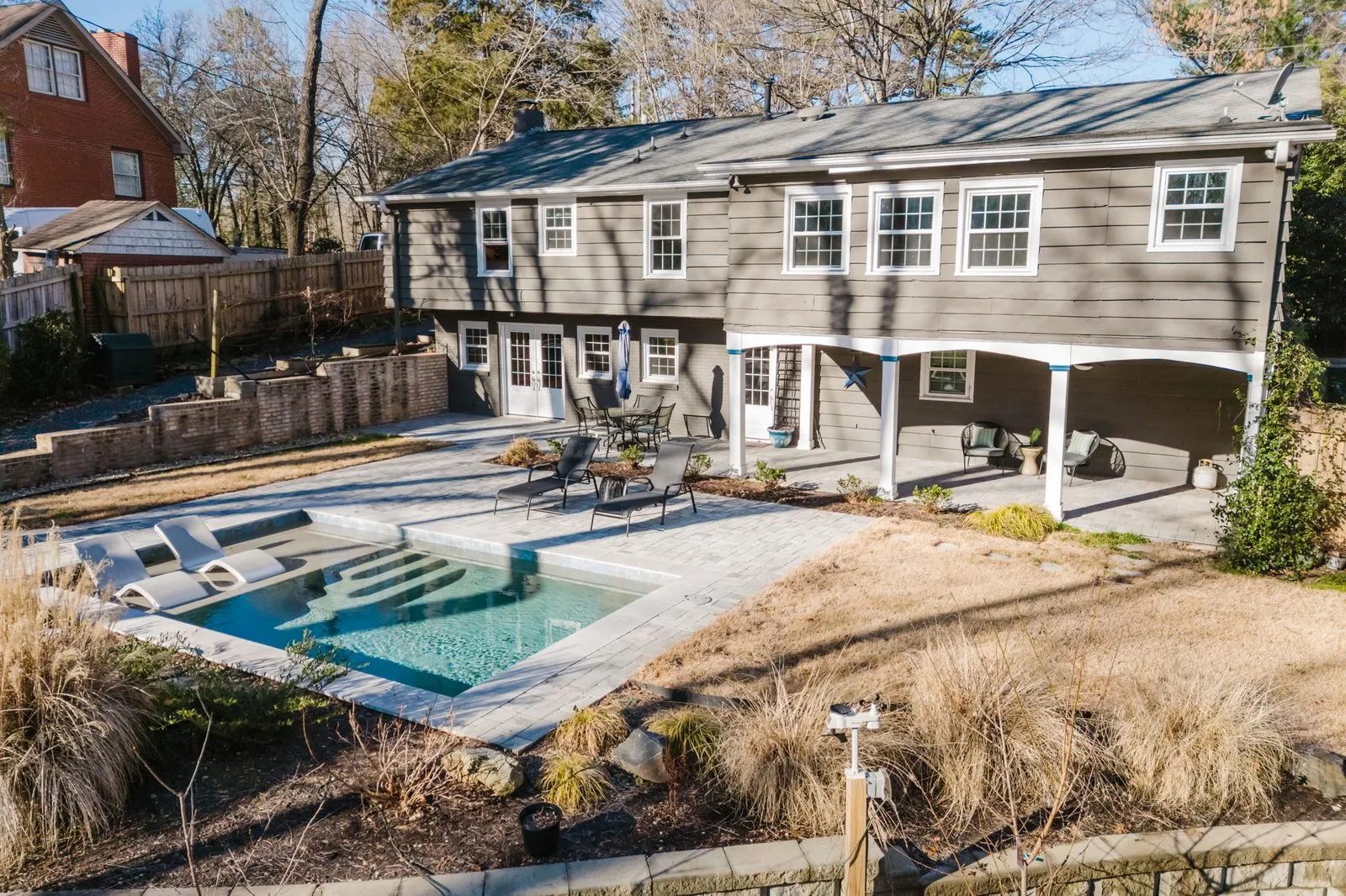
131 Wilby Dr. Sold 5% Over List on the $395 Drone Tour Package
Drone Tour only, $395. Sold $37,000 over list in 19 days. The cheapest OSDT package, at 105% of list.