Can You Legally Fly a Drone at My Charlotte Address?
Charlotte sits under one of the busiest Class B shelves in the Southeast. What that actually means for a shoot at your property, how authorization works, and the three things that stop a flight even when the airspace is clear.
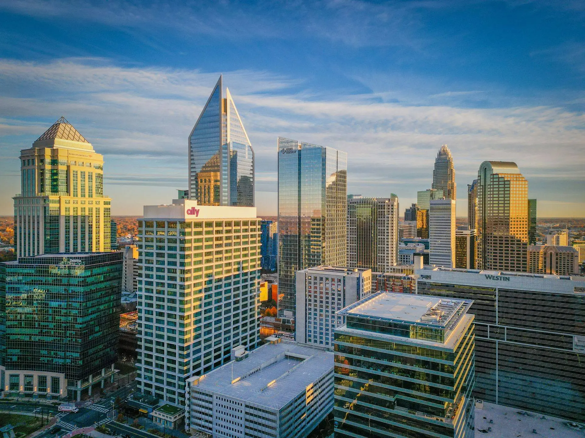
The question comes up on maybe a third of commercial jobs, usually phrased as some version of “wait, are you allowed to do that here?”
Fair question. Charlotte Douglas moves more flights than almost any airport in the country, and if you live or operate anywhere inside the inner ring you have watched aircraft pass low over your building. The intuition that this complicates drone work is correct. The conclusion people jump to, that it makes drone work impossible at their address, is almost always wrong.
Here is the actual picture, specific to this metro.
First, the only license that matters
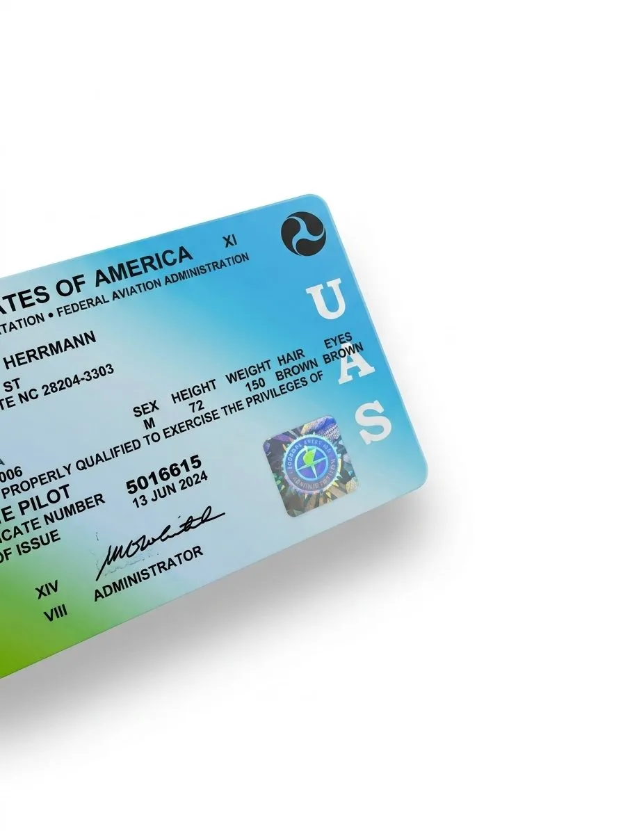
A commercial drone operator in North Carolina needs one credential: an FAA Remote Pilot Certificate under Part 107. That is the whole list.
This is worth stating clearly because the answer changed recently and a lot of published information is stale. From 2015 through late 2024, North Carolina was one of only two states that also required a state-issued UAS Operator Permit on top of the federal certificate. The General Assembly repealed it through House Bill 198, and the repeal took effect December 1, 2024.
So if you are vetting operators and someone offers their NC state permit as a credential, they are showing you something that has not existed for over a year. Ask for the Part 107 certificate number instead. Separately, every aircraft flown commercially has to broadcast Remote ID, which has been mandatory since March 2024.
Why Charlotte is harder than most metros
Charlotte Douglas is Class B airspace. Class B is the most restrictive classification around civilian airports, and it is not a circle. It is a stack of shelves, wider at the top than the bottom, which on a sectional chart looks like an upside-down wedding cake centered on the airport.
The practical consequence is that the controlled airspace extends far past anything you would think of as “near the airport.” CLT’s shelves reach across uptown, South End, Dilworth, SouthPark, and a large share of the inner ring. Plenty of property owners eight or ten miles from a runway are surprised to learn their building sits under controlled airspace.
Charlotte also has a second layer most metros do not. Concord-Padgett Regional (JQF) is Class D and covers a chunk of the northeast metro, so Concord, Harrisburg, and parts of Cabarrus County have their own authorization requirement independent of CLT. Add the smaller fields around the region and a meaningful percentage of the metro sits in controlled airspace of some kind.
None of this makes a shoot illegal. It makes it a scheduling input.
How authorization actually works
Controlled airspace does not mean no flying. It means flying with authorization, and for most of Charlotte that authorization is nearly instant.
The FAA publishes UAS Facility Maps, which divide controlled airspace into grid squares. Each square carries a maximum altitude at which a drone can be pre-authorized: 400 feet, 200, 100, 50, or zero. Where a grid shows an altitude above zero, an operator requests authorization through LAANC, the Low Altitude Authorization and Notification Capability, using an FAA-approved app. Approval typically comes back in seconds.
That is the normal case, and for the large majority of Charlotte addresses it is what happens. We file it before leaving, it clears, and the shoot proceeds exactly as scheduled.
The exception is a grid marked zero feet. Those are usually the squares sitting directly under approach and departure corridors, and they cannot be cleared through LAANC at all. A zero-foot grid requires a manual authorization request through FAA DroneZone, and that process runs days to weeks rather than seconds. It is not a no. It is a no on your timeline if you called us on Tuesday for a Thursday shoot.
One thing worth understanding about the grids: they change. The FAA updates facility maps, and altitude ceilings get revised. Any operator quoting you a specific ceiling for a specific block from memory is guessing. The answer gets checked against the current map for your address, every time, which is why we ask for the address before we quote anything with an unusual location.
The three things that stop a flight even when the airspace is clear
Airspace authorization is necessary and not sufficient. Three other constraints override it.
Temporary Flight Restrictions. A TFR is a short-notice closure of airspace, and it beats any authorization you hold. Presidential travel generates them, and Charlotte gets its share. So do major incidents and some large public events.
Stadium TFRs, which Charlotte has more of than most cities. Federal rules restrict flight below 3,000 feet AGL within a 3 nautical mile radius of any stadium seating 30,000 or more, from one hour before an event until one hour after it ends. It applies to MLB, NFL, NCAA Division I football, and NASCAR Cup events.
Both Bank of America Stadium and Charlotte Motor Speedway trigger it. Draw a three nautical mile radius from Bank of America Stadium and you have covered most of uptown and a good deal of South End. Every commercial property inside that circle is grounded for the event window, whether or not it has anything to do with the game. If your building sits in that footprint, we schedule around the season rather than around the week.
Penalties here are not theoretical. Stadium TFR violations have drawn civil penalties in the tens of thousands and, in some cases, criminal charges.
Weather and the operating rules themselves. Part 107 caps flight at 400 feet AGL, requires visual line of sight, and requires minimum visibility and cloud clearance. A legal address in clear airspace is still a scrubbed shoot in low ceilings, and Charlotte’s summer afternoon storm pattern is the single most common reason we move a date.
What this means when you book
For most properties in this metro, honestly, nothing. You give us an address, we check the grid, LAANC clears in seconds, and the airspace never becomes something you have to think about.
Where it does matter:
- Uptown, South End, and anything near an approach corridor. Higher chance of a low or zero-foot grid. Send the address early rather than late.
- Anything inside three nautical miles of Bank of America Stadium. Check the Panthers schedule before picking a date.
- Concord and the northeast metro. JQF Class D is a separate authorization, routine but real.
- Properties needing altitude. Tall buildings, large sites, and wide context shots need ceiling. A 100-foot grid limits what an aerial can show, and that is a scope conversation before it is a flight.
The practical ask is simple: give us the address when you inquire, not on shoot day. Everything above gets resolved before anyone gets in a truck, and the only version of this that becomes your problem is the one where nobody checked until the morning of.
What you should ask an operator
If you are vetting somebody, the airspace questions worth asking are short:
- What is your Part 107 certificate number?
- Do you file LAANC, and will you send me the authorization for my address?
- What is the grid ceiling at my property?
- Do your aircraft broadcast Remote ID?
An operator working legally in Charlotte answers all four without hesitating, because they check three of them before every job anyway. The full vetting checklist covers insurance and portfolio questions alongside these, and the regulations and insurance guide goes deeper on what $1M liability actually covers.
The short version: Charlotte’s airspace is more complicated than most of the country’s, and it stops almost nothing. What it does is punish short notice. The properties where a shoot genuinely cannot happen are rare. The properties where it cannot happen this week because someone waited to check are not.
Send the address to contact@oneshotdronetours.com and we will tell you what the airspace looks like over your building before you commit to anything.
Related journal posts
Can You Legally Fly a Drone at My Raleigh Address?
Much of the Triangle sits under RDU's Class C shelf. Here is what that means for shooting your property, and why it is almost always a scheduling question rather than a legal one.
Drone Regulations + Insurance: What Clients Should Actually Ask About
A direct explainer on drone regulation and insurance. Part 107, Remote ID, LAANC, liability limits, and what a COI means for your shoot. Written for clients, not pilots.
The State of Commercial Drone Regulation After 2025
The state of US commercial drone regulation in 2026. Remote ID fully enforced, Part 108 BVLOS rulemaking active, LAANC ecosystem maturing, and what commercial operators should track through 2027.