Can You Legally Fly a Drone at My Raleigh Address?
Most of central Raleigh, Cary, and Morrisville sits inside RDU's Class C airspace. What that means for a shoot at your property, how authorization actually works, and the four things that stop a flight even when the airspace is clear.
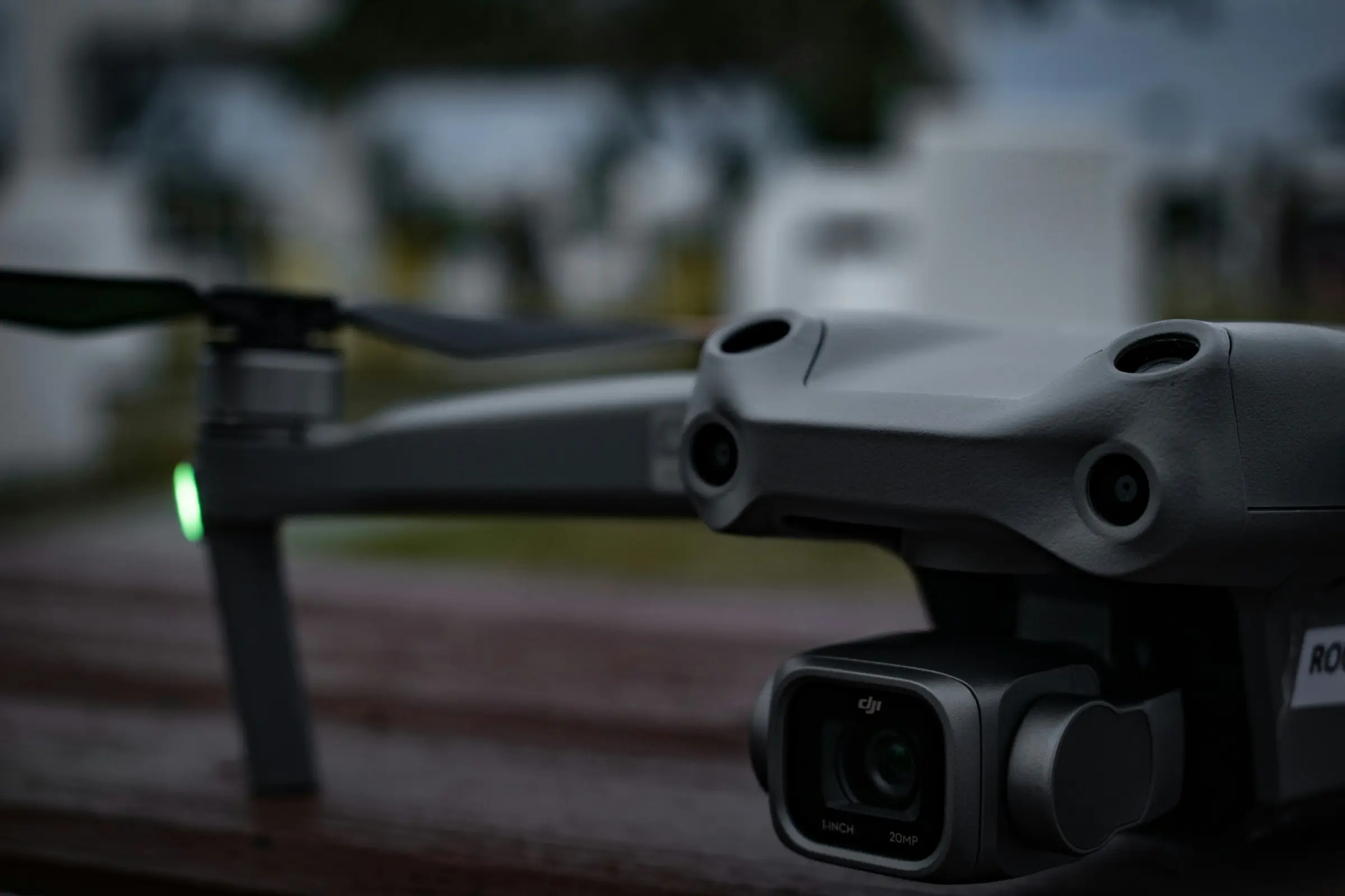
I get some version of this on most commercial jobs in the Triangle, usually phrased as “hang on, can you even fly here?”
It is a reasonable thing to ask. If you live or work anywhere between downtown Raleigh and RDU you have watched aircraft come in low over your building, and the instinct that this complicates drone work is right. The conclusion people jump to next, that it rules out drone work at their address, is almost always wrong.
Here is the actual picture for this metro.
The only license that matters
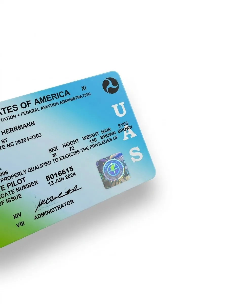
A commercial drone operator in North Carolina needs one credential: an FAA Remote Pilot Certificate under Part 107. That is the entire list.
Worth saying plainly, because the answer changed recently and a lot of published guidance is still stale. From 2015 through late 2024, North Carolina was one of only two states that also required a state-issued UAS Operator Permit on top of the federal certificate. The General Assembly repealed it through House Bill 198, effective December 1, 2024. If an operator is still advertising a state permit as a differentiator, they are advertising something that no longer exists.
What has not changed: the certificate is per-pilot, not per-company. Ask which pilot is coming to your property, not whether the business is certified.
Raleigh’s airspace is simpler than Charlotte’s, and still wider than you expect
Charlotte Douglas is Class B, which on a chart looks like an upside-down wedding cake: a surface area at the field with shelves stepping outward and upward, layer over layer.
Raleigh-Durham is Class C, which is a simpler shape. An inner ring around the field, then an outer shelf stepping up and away from it. Two pieces instead of six.
Simpler does not mean smaller in the way that matters to you. RDU sits between Raleigh, Durham, Cary, and Morrisville rather than off on one edge of the metro, so its footprint lands on a lot of inhabited, listable property. Practically, that means:
- Inside it, most of the time: Morrisville, Brier Creek, RTP, much of Cary, and a good deal of northwest and central Raleigh.
- Nearer the edge: downtown Raleigh, North Hills, Garner, Apex, and the Chapel Hill side.
- Usually outside: Wake Forest, Knightdale, Wendell, Zebulon, and the eastern Wake band.
Those are orientation, not a ruling on your address. Airspace boundaries do not follow ZIP codes and the only answer that counts is the one for your specific parcel.
How authorization actually works
Controlled airspace is not a wall. It is a queue.
Commercial flights inside Class C need FAA authorization, which for the overwhelming majority of addresses is filed through LAANC, the Low Altitude Authorization and Notification Capability. It is an automated system. The request goes in against a published grid, and the answer usually comes back in seconds.
The grid is the part worth understanding. The FAA divides controlled airspace into squares and publishes a maximum altitude for each one. Some squares near approach and departure corridors carry a low ceiling. A few carry a ceiling of zero feet, which means LAANC will not auto-approve anything and the request has to go through a manual FAA process measured in days rather than seconds.
So the honest answer to “can you fly at my address” splits three ways:
- Yes, and it clears instantly. The large majority of Triangle addresses.
- Yes, but the ceiling is low. We can still get the shots that matter for a listing. Exteriors, roofline, lot context, and neighborhood context all live well under a restrictive ceiling.
- Yes, but not this week. Zero-foot grid, manual request. This is the one that breaks a Friday listing deadline, and it is the entire reason we ask for the address before promising a slot.
None of those three is “no.” In the Triangle I have not yet hit an address that was a flat no on airspace alone.
Four things that stop a flight even when the airspace is clear
Airspace authorization is the part people ask about. It is rarely the part that actually moves a shoot.
Carter-Finley on a home game day. This one surprises people. FDC NOTAM 4/3621 is a standing federal restriction, not a local rule and not something the university issues. It closes a 3 nautical mile radius up to 3,000 feet AGL from one hour before to one hour after events at stadiums seating 30,000 or more, covering NFL, MLB, NASCAR Cup, and NCAA Division I football. NC State football qualifies. If your listing is inside that ring, a Saturday home game takes the day off the board, and the ring is big enough to cover a meaningful slice of west Raleigh.
Downtown and the Capitol complex. The State Capitol and the Legislative Building sit in the middle of downtown Raleigh. Government activity around those blocks can bring temporary restrictions with very little public notice. Downtown, Glenwood South, and Warehouse District shoots get their airspace re-checked the morning of, not the week before.
Umstead and the state parks. Under 07 NCAC 13B, operating a drone inside a North Carolina state park unit requires prior written authorization from the Division, and launching, landing, or recovering an aircraft in a state park is prohibited without a Special Activity Permit. William B. Umstead State Park covers a large wedge of northwest Raleigh between the city and RDU. This does not stop a shoot at a property that borders the park, and plenty of the best listings in that corridor do. It does mean the pilot launches and lands on the property, not from a trailhead, and does not treat park land as overflow space.
Weather and light. Far and away the most common reason a Triangle shoot moves. Sustained wind over roughly 20 knots, active precipitation, or a flat grey ceiling. We reschedule at no charge, because a bad-light exterior costs you more in listing performance than a two-day delay does.
What this means when you book
Send the address first. Not the square footage, not the package, the address.
Everything above resolves off a specific parcel, and it resolves in a couple of minutes. We check the current facility map against the property, look at whether it is a game weekend, and come back with either a slot or the reason we cannot hold that slot. That is a much better conversation than discovering a zero-foot grid the morning of a Thursday shoot with the listing going live Friday.
One caveat worth stating plainly: the FAA revises its facility maps, and grid ceilings change. Any operator quoting you a ceiling for your block from memory is guessing. We check the current map against the specific address every time.
What you should ask an operator
If you are comparing vendors in the Triangle, four questions separate the ones who handle this properly from the ones who improvise:
- Which pilot is coming, and what is their Part 107 certificate number? Per-pilot, not per-company.
- Have you filed LAANC for this address, or are you planning to? “We’ll figure it out on site” means they intend to fly unauthorized or cancel on you.
- Can you send a certificate of insurance with my brokerage named as additional insured? Ours goes out same day. An operator who charges extra for this, or who cannot produce one, is telling you something.
- What happens if the grid comes back zero? The right answer is a rescheduled date, not a shrug or a flight anyway.
Airspace in the Triangle is a scheduling constraint handled before the shoot, by the operator, without involving you. If it is showing up as your problem, that is the vendor, not the airspace.
Related journal posts
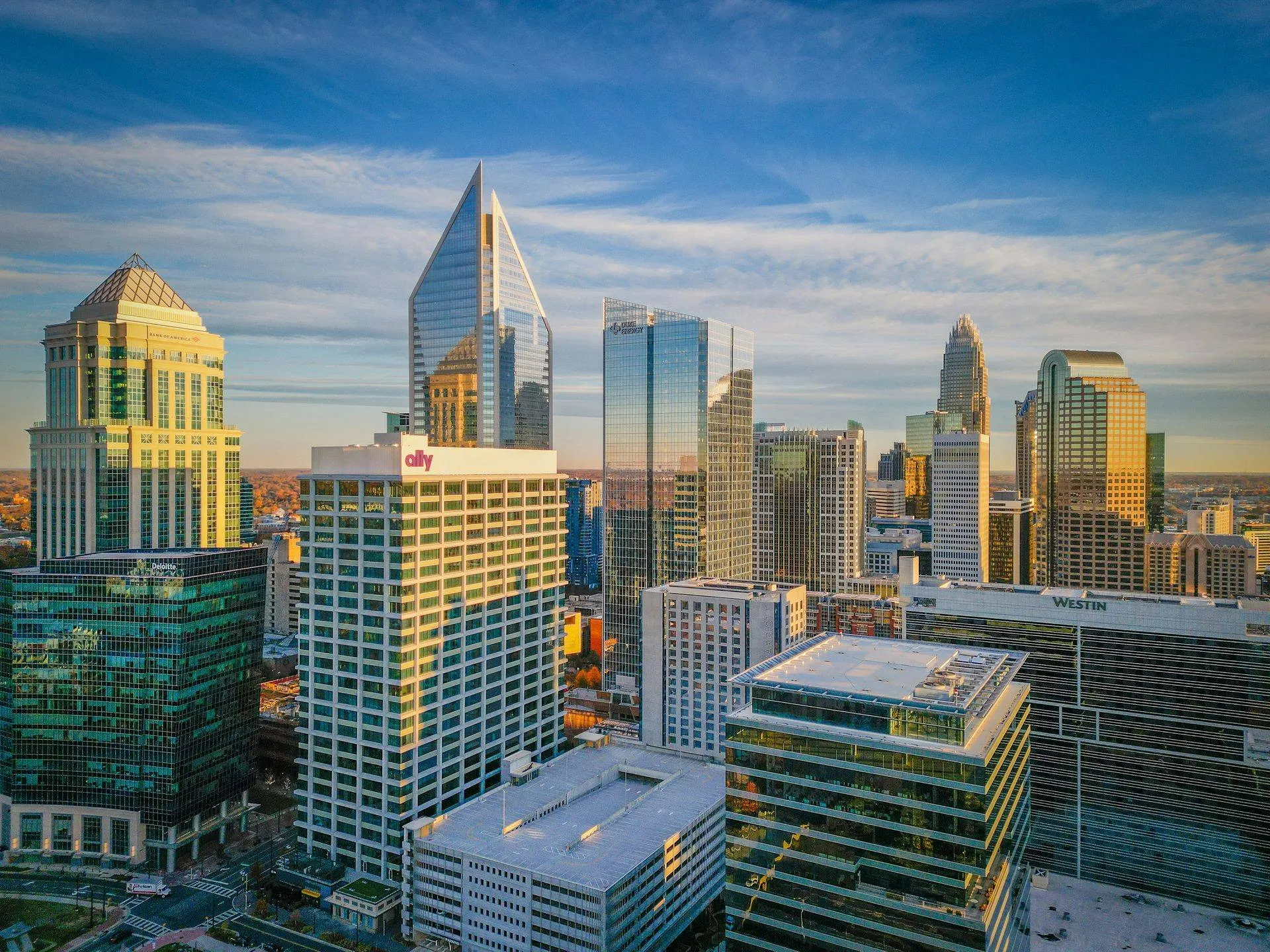
Can You Legally Fly a Drone at My Charlotte Address?
Most of Charlotte's inner ring sits under CLT's Class B shelves. Here is what that means for shooting your property, and why it is usually a scheduling question rather than a legal one.
Drone Regulations + Insurance: What Clients Should Actually Ask About
A direct explainer on drone regulation and insurance. Part 107, Remote ID, LAANC, liability limits, and what a COI means for your shoot. Written for clients, not pilots.
The State of Commercial Drone Regulation After 2025
The state of US commercial drone regulation in 2026. Remote ID fully enforced, Part 108 BVLOS rulemaking active, LAANC ecosystem maturing, and what commercial operators should track through 2027.