Drone Mapping and Inspection Capture, and Where We Draw the Line
Grid and orbit flights over Charlotte roofs, facades, and sites. What high-resolution capture answers, what it does not, and why we will tell you when you need a licensed surveyor instead.
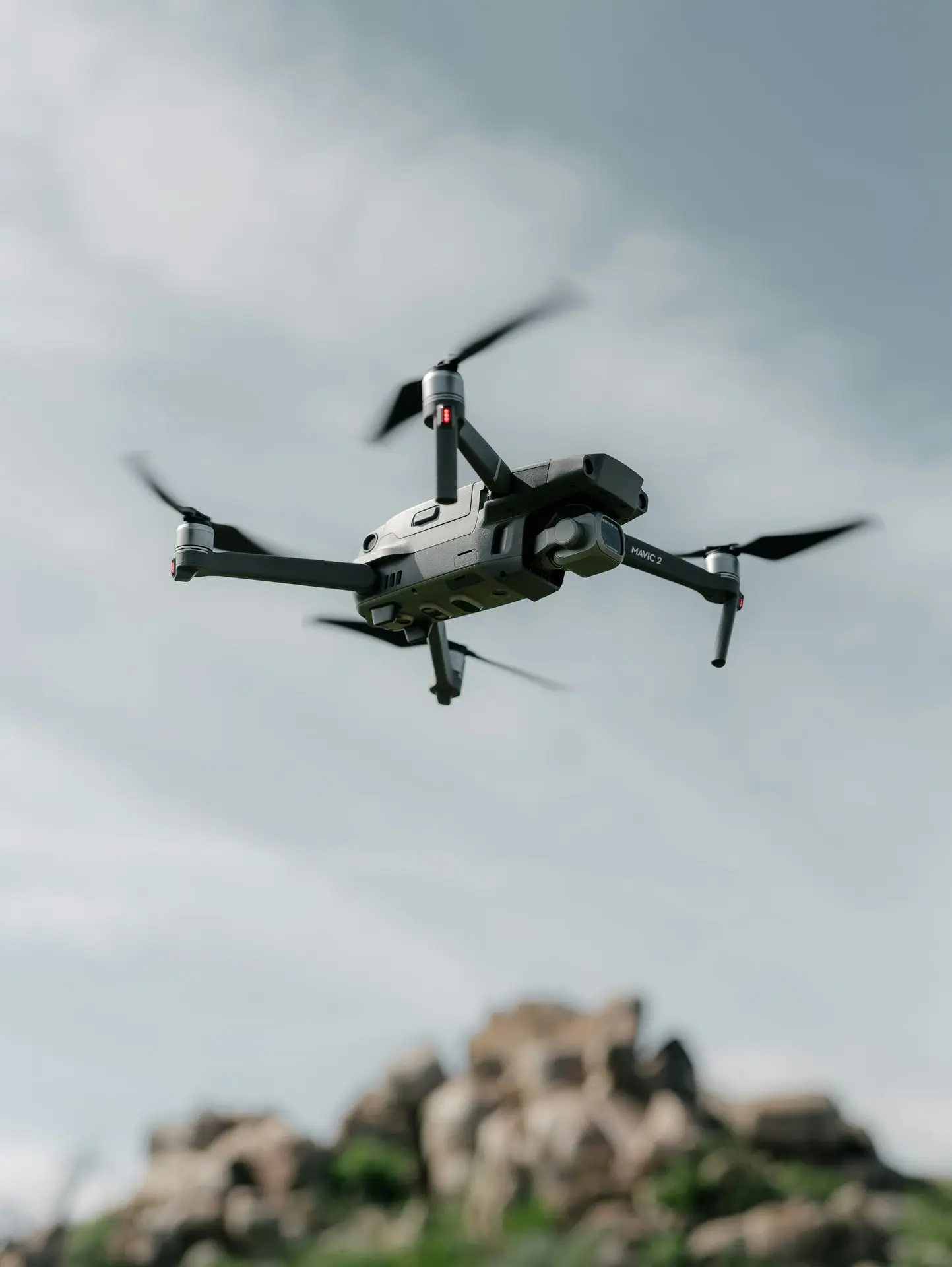
“Can you do a drone survey of the property?”
We get that question with some regularity, and the honest first response is another question, because “survey” is doing a lot of work in that sentence. Sometimes the person means they want pictures of a roof they do not want to climb onto. Sometimes they mean a stamped, certified document with legal weight. Those are different products, and only one of them is ours.
Getting the distinction right saves money in both directions, so it is worth laying out.
What we actually do
We fly image capture. Two patterns cover almost everything.
A grid is a lawnmower pattern flown at a fixed altitude with consistent overlap, so a large flat area gets covered evenly with no gaps. Roofs, parking areas, laydown yards, sites. Flown from the same waypoints on a repeat visit, it produces images that line up with the last set, which is what makes change visible.
An orbit circles a vertical subject at a fixed radius and camera angle. Facades, towers, rooftop equipment, anything where the thing you need to see is on a side rather than on top.
The deliverable is a labeled, high-resolution image set. Sorted, named by elevation or grid position, delivered so somebody can actually find the northwest corner of the roof without scrubbing through 200 files.
That is the product. It is genuinely useful, and it is not a survey.
What we do not do, and why we say so upfront
We are not a licensed surveying firm. We do not stamp deliverables, and we do not produce certified orthomosaics, volumetrics, or anything intended to carry legal or engineering weight.
In North Carolina, land surveying is a licensed profession, and a document that establishes boundaries or supplies engineering-grade measurement has to come from a licensed surveyor. Photogrammetry software will happily generate a measurement from drone imagery. That number is not a survey just because a computer produced it, and treating it as one is how people end up in trouble on a boundary dispute or a volumetric payment claim.
So the line we draw: if your deliverable needs a stamp, a signature, or a tolerance, that is a surveyor’s job. We will often fly alongside the firm doing it, because the visual record and the certified measurement answer different questions and most projects want both.
If your deliverable is “show me what this looks like right now, in enough detail to make a decision,” that is us.
What documentation capture is genuinely good at
Roof condition without the liability. Getting a person onto a commercial roof means fall protection, access coordination, and risk. A grid flight covers the whole roof in high resolution in a fraction of the time and nobody goes up. For a property manager triaging which of eleven buildings needs attention first, this is the entire use case.
Facades on tall or awkward buildings. Orbits at multiple altitudes get you close-range detail on elevations that are otherwise a lift rental or a rope job.
Change over time. This is the strongest argument for drone capture and the most underused. Fly the same grid at the same altitude every month, and differences between visits become obvious because everything else stayed identical. Ponding that is spreading. A crack that moved. Storage creeping into a fire lane.
Insurance and dispute documentation. A dated, geotagged image set from before an event is worth a great deal after one. Most property owners only discover this after a hailstorm.
Site conditions for people who are not on site. Owners, lenders, and remote stakeholders asking what a property looks like this week get an answer that does not depend on somebody’s phone photos.
How the flights are actually run
Repeatability is the whole discipline. For recurring work the flight gets planned once, and every subsequent visit reuses the altitude, the overlap, the camera angle, and the waypoints. Consistency is what makes comparison possible. A capture flown differently each time is a pile of pictures rather than a record.
Resolution is a function of altitude, and altitude is often capped. Ground sample distance improves as you descend, which is a nice way of saying detail costs altitude. In Charlotte that runs into airspace: a site under a low LAANC grid ceiling limits how the flight can be structured. That is worked out before scheduling, not discovered on site, and the airspace guide covers how the grid ceilings work.
Light matters more than people expect. Overcast is better than bright sun for roof and facade work, because hard shadows hide exactly the defects you are flying to find. Midday sun on a white membrane roof blows out detail. We schedule these differently than we schedule marketing shoots, and sometimes that means the good day for documentation is the bad day for pretty pictures.
Occupied sites need a plan. Active parking, staff, deliveries. Same discipline as any occupied shoot: walk it first, fly during low-traffic windows, use the smallest aircraft that gets the resolution.
What it costs
Documentation capture is quoted per project like all commercial work, starting at $400 for aerial stills. Where a mapping or inspection job lands depends on three things: the size of the area, how many elevations or altitudes the subject needs, and whether it is a one-off or a recurring capture.
Recurring work is where the math gets interesting. The flight plan is built once, and every subsequent visit reuses it, so the per-visit cost on a monthly or quarterly cadence drops well below a series of one-offs. Portfolios with several properties on the same cycle drop further.
Full rates are on the pricing page. For construction sites specifically, the progress documentation post covers capture schedules tied to build phases, which is a different cadence than condition monitoring.
The reason to be blunt about the survey distinction is that the drone industry has been sloppy with it for a decade, and sloppiness there costs clients real money. People buy a “drone survey” expecting a document they can rely on legally, and get an image set. Or they pay surveyor rates for something a documentation flight would have answered in an afternoon.
Tell us what decision the imagery has to support and it is usually obvious which one you need. If it is the other one, we will say so.
Email contact@oneshotdronetours.com with the property, what you are trying to see, and whether this is a one-time capture or a cycle. The aerial photography page has the documentation capture section alongside the marketing work.
Related journal posts
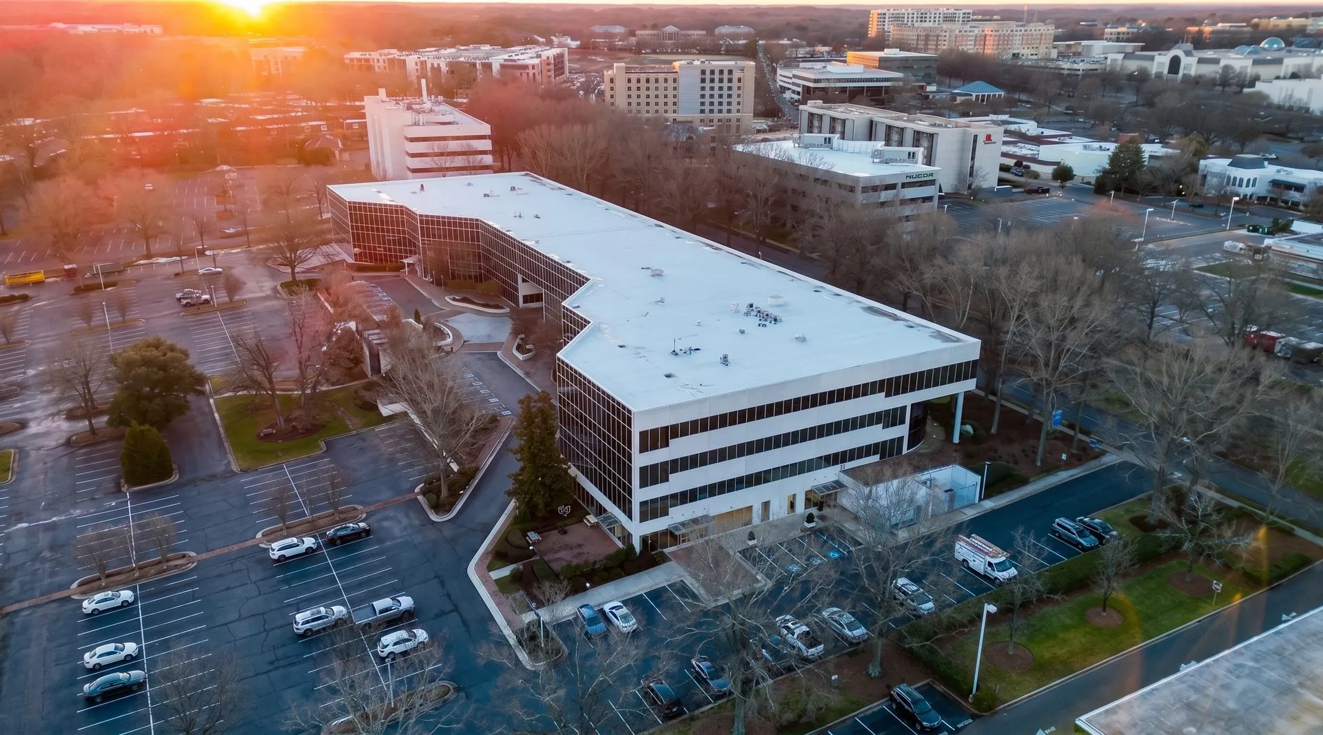
The Commercial Drone Media Playbook for Charlotte CRE
How Charlotte CRE brokers, developers, business owners, and hospitality operators use FPV and aerial drone media to lease space, close deals, and fill seats, across all four commercial verticals.
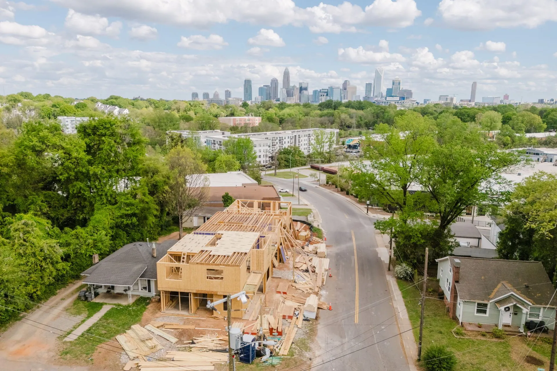
Construction Progress Aerials: How Charlotte Developers Are Documenting Vertical Builds
How Charlotte developers use recurring drone captures to document vertical builds, frame registration, pre-sale marketing, LP updates, and the cadence that turns a year of work into 90 seconds.

Drone Regulations + Insurance: What Clients Should Actually Ask About
A direct explainer on drone regulation and insurance. Part 107, Remote ID, LAANC, liability limits, and what a COI means for your shoot. Written for clients, not pilots.